Historical maps of the USA
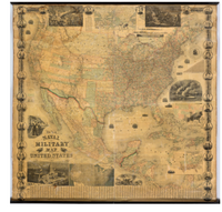
The Digital Public Library of America (DPLA) published several maps that show important moments in the United States’ history. They address the migration along the Oregon Trail, the rise of the lumber industry, the Civil War and the popularisation of the automobile and individual tourism. Furthermore the offered maps are giving an impression of current developments and outlooks on future trends. The intention of the DPLA is to approach the American self-perception, expansions and interactions with the geography by considering the maps that were used in times of change.
Information:
http://dp.la/exhibitions/.../maps-in-american-culture
Picture: dp.la
Redaktion (sz)